Showing posts with label Pilatus PC6. Show all posts

Thursday, February 22, 2018

[FSX] Pilatus PC6 Porter : Through Turkey (Part. 1)

The next stage of my journey will bring me from Cyprus to continental part of Turkey. My destination will be Adana airport LTAF.
Since I will be flying over the sea, I have to fill a flight plan.
 

(FPL-FGRT2-VG
-PC6T/L-FGOUV/A
-LCGK1300
-N0117F050 3542N3434E/N117F045 3612N3456E ADA
-LTAF0140 LTAG
-0)


 Once validated by IFPS, I can focus on the airport charts. Unfortunately, I couldn't find any documentation about Gecitkale. Thus I focus on LTAF at Adana.  The active runway is 09, so I will carry out a direct departure to the East.

Then I will fly to the North-East end of the island to cross the sea at the shortest and reach the shores of Turkey. Then I will follow the coast until I'm close to LTAF.

To land I decided to follow VOR 1 landing chart. As far as I understood, I had to go right over the ADA VOR (112.7) at 3000 ft then turn to the 206° for 2 minutes. Next step is to turn right to intercept 51° radial and descend to 2500 ft and wait to be at 7.5 nm from the airfield to start descending on final. It looks easy except that I have no clue on how I will determine when I will be 7.5 nm far from the runway.
I will use LTAG Incirlik airport as a divert landing site in case of problem. Both are really close from one another.
Concerning fuel, I start with the amount I had at the end of the previous flight : 135 gal.

Ready to take-off

Leaving Gecitkale
 After take-off, I immediately climb to 5500 ft heading 52° to follow the island until it's far end. It is also time to train using that propeller lever. Once on cruise condition, I reduce use it to my RPM and watch the torque grow as a consequence. During all this phase, throttle is left at around 85% which is marked green on the tachometer.

Turning point
24 minutes later I'm on my turning point. A look at my fuel gauge tells me I'm still good : 130 gal. So I turn left to face the sea. As I'm now flying to the 310° I have to descend to 4500 ft.

Over the sea
 From Cyprus island I can see the shores of Turkey which is quite comfortable in deed. After a short 27 flight, I reach the coast.

Arriving in Turkey
 I'm quite earlier than scheduled on my turning point but it is not a problem. I still have 125 gal, much more than required to reach Adana or Incirlik. I'm now intercepting the 49° radial of ADA VOR which will bring me directly to the airport. I'm descending to 3500 ft to fit the even and odd altitude requirements.

Along the coast
I can now take some time to have a look at the traffic airplanes around :

AI traffic


AI traffic

 Suddenly the weather turns a bit stormy and I have to descend to 1500 ft to avoid being to close to the clouds.

Under de clouds
 Finally I cross the shore line which indicates I'll be soon over the VOR beacon.

Crossing the shore line
 A few minutes later, I can see my HSI flipping from To to From, telling me I'm right over the beacon. Now it's time to turn right to the 206° and to descend to 2500 ft. 2 minutes later, I turn again on the right to intercept the 49° radial which will lead me directly to the final leg.

On final
 After a really short landing, I taxi to the general aviation parking and stop my engine.

Taxi at LTAF

 This was quite a good flight for me. I never had doubt about my navigation, I was on time on my waypoints and I finally managed to handle that propeller lever.


Flight map


Monday, February 19, 2018

[FSX] Pilatus PC6 Porter : On the road again (Part 2)

Now it's time to go for the first step of my travel to the next theater... As scheduled, this first flight will take me from Akrotiri LCRA to Gecitkale LCGK.I will follow a VFR flight plan along the shores of Cyprus.

As the weather changed since the last flight, the active runway is now 28.

Ready to take-off on runway 28
 When in the air, I follow the left hand circuit to rejoin the sea and start my navigation.

Downwind leg

I leave the airbase at 08:07 and climb to 9,500 ft as I head to the 56° to reach the VOR beacon LCA. I should be on it at 08:27.

Flying along the coast.
A few minutes later, I can see Larnaca airport on my left.

Larnaca in sight
Still a few minutes to fly and I'm proud to see that I am be precisely on time over my turning point. My remaining fuel is 150 gal which is very good too. 

Over Larnaca
 It is the occasion to have a look at the AI traffic thanks to World of AI

AI traffic on parking

Aegean airline in flight
 

Now I can turn left to follow the 14° radial which will make me follow the coast. 
Then after a few minutes, I have to turn right to follow the 88° course. And after a 20 minutes flight I turn right again to the 325°. Thus I have to descend to 8,500 ft to fit the VFR altitude rules (Even South West).

Another few minutes later, I see my destination airfield on my right.

Destination in sight
As it is a non controlled airfield, I just announce myself and my intending to land there. Thanks to the good weather conditions and the clear picture of the airfield I decide to enter directly in final leg and land at once.

Landed at Gecitkale.
I touch the ground at 09:00 with a few minutes late. I still have 140 gal in my tank. It should be enough for the next flight. I stop the plane and shut it down before the next flight...

My flight plotted on the map


Today was quite an easy flight yet I still had trouble managing the throttle and the power lever. This is going to be the main axis of work of the following sessions.


Friday, February 16, 2018

[FSX] Pilatus PC6 Porter : On the road again (part 1)

With the new year comes the time to take off again after this 3 months long break. The plan for the following flights is to close the Falcon BMS chapter to open a brand new one.

Yet I need first to travel to a new theater. Thus the first flight will be a VFR navigation from Akrotiri LCRA to Gecitkale LCGK . This will bring me from the Greek part of Cyprus to the Turkish one. In the near future, I will have to cross that country to go to my final destination.

In order to make this flight more enjoyable, I will follow the coast line.

To carry out this flight, I will dust my old Pilatus PC6 Porter by Tim "Piglet" Conrad.

Obviously I will have to train a bit before going on travel with this plane. So I will start with remembering the check-lists, then I will carry out some circuit training and finally fill my tank up and leave for Gecitkale airfield.

1 - Check lists


First step in this training is to familiarize again with the check-lists of this plane. It has been a while since I haven't flown the PC6, I almost have to restart from the beginning.
My reference is still the document written by Scott Werner and available here.
Fortunately the Pilatus is really easy to handle and to fly and there are not too much systems to deal with. It should be long before I am able to fly it again...

Pilatus PC6
 After a short training, I have no difficulty in starting up the engine and taxiing to the runway threshold.

2 - Circuit training


Circuit at Akrotiri LCRA on runway 10 is right handed and should be flown at 1200 ft QFE.

Once aligned on the runway, I slowly push the throttle to full and then release the brake. The plane starts rolling as I keep the yoke full aft until 25 kts. Then I slowly release it. Decision speed is 45 kts and rotation 50 kts.
Once leaving the ground, I briefly press the brake to stop the wheels rolling. At 500 ft, I bring the flaps up and trim to keep on climbing at around 80 kts and 950 ft/m.

I check engine instruments perform the climb-out check-list.

Climbing out
Once at 1200 ft and above the sea, I turn right to enter downwind leg.

Downwind leg
A quick rest and it is already time to carry out the approach check-list. Decelerating from 90 kts to 70 kts

Landing speed is around 70 kts .

Once on the ground I push the throttle forward again and take-off for another circuit. In the same conditions.

Below is the record of my two circuits. Easy to see where the wind blows from...
Circuit training record
After landing again, I leave the runway and taxi to the refuel station to fill my gaz tank up so as to be ready for the next flight...

Refueling


Tuesday, December 13, 2016

Bilan d'étape 5ème partie

Cinquième partie: Initiation à la voltige


C'est à la lecture de "Notes pour aborder la voltige aérienne" de Patrick Gigot, disponible sur France Voltige à cette adresse: http://www.france-voltige.org/Docs/Petit_Gigot.pdf que m'était venue l'idée de m'initier à cette pratique.

Pour cette première séance, j'avais choisi de rester sur l'OV-10 Bronco.
Première point: maîtriser le vol en pallier. C'est en effet à partir de là que tout commence et il faut savoir afficher des paramètres précis.

J'avais ensuite travaillé le vol sur le dos, d'abord à plat puis en virage.

Vol dos à plat

Virage sur le dos
Puis l'exercice de la boucle. Pour cette séance j'avais choisi de retourner à bord du Pilatus PC9 qui est quand même plus nerveux. Cet exercice est déjà très compliqué à maîtriser et réaliser une boucle parfaite reste pour l'instant un exploit.

Sortie de boucle
Cet exercice qui paraît simple au premier abord, demande en fait beaucoup de précision si l'on souhaite dessiner une boucle correcte.

Enfin, des exercices de vrilles et de récupération qui sont tout aussi difficiles à réaliser proprement.
Sortie de vrille
Ces quelques simples figurent avaient déjà demandé beaucoup de temps et d'effort pour être réalisées à peu près correctement. Je laissais donc pour l'instant cette pratique de côté avec la ferme intention d'y revenir plus tard...
Au moins, ces séances m'avaient rendu bien plus à l'aise dans mon cockpit dans le pilotage en condition "normales".

C'est ainsi que s'achève cette cinquième partie. Lors de la prochaine, nous passerons réellement aux choses sérieuses!

Point à retenir


Sunday, December 4, 2016

Bilan d'étape 1ère partie

Après plus de 5 années d'existence (certes entrecoupées de longues pauses) et avant de reprendre le fil de ce Blog, j'ai souhaité faire un bilan de l'ensemble des étapes franchies. Depuis l'installation de FSX en août 2011 jusqu'au passage au format MultiSimulateur qui se construit pas à pas.
Ce sera l'occasion de revenir sur les articles marquants et de faire remonter à la surface quelques liens ou outils utiles.
Tous les points importants sont regroupés en fin d'article.

Première partie: La découverte de FSX et les premiers vols


Cette partie était découpée en 5 phases.

 J'éluderai la Phase 0 qui concernait l'installation de FSX. Notons seulement que je suis dorénavant passé à la version STEAM de FSX et qu'avec la migration vers Windows 10, la petite manipulation pour les processeurs multicœur ne semble plus être d'actualité.

Cessna C172

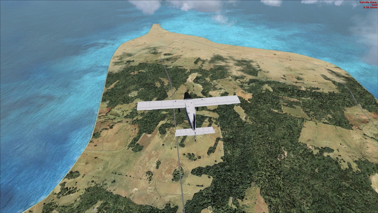
La Phase I, concernait des vols de découverte en Seine-Maritime à bord du Cessna 172. Je précise que c'était avant d'investir dans la scène développée par France-VFR sur laquelle nous reviendront plus tard. Il s'agissait simplement de se familiariser avec le simulateur, les check-lists et les démarrage à froid.

Beechcraft BE58


Lors de la phase II, je suis monté en gamme pour passer sur un bimoteur: le Beechcraft BE58. Outre le nouvel avion, je commençais à découvrir les bases de la navigation avec entre autre, l'emploi des balises VOR. Puis j'entamais ma première grande navigation à destination de La Corse.
Ce voyage fût l'occasion de se pencher sur l'installation de nouvelles scènes et la manipulation un peu particulière à suivre. Cette dernière est toujours disponible dans mes pages permanentes à la rubrique  [FSX] Tutoriels d'améliorations. Je ne sais pas si elle est toujours d'actualité...

Beechcraft BE58 au dessus de la Corse


Logiquement, la phase III correspond à un tour de la Corse. J'ai à cette occasion découvert un site regroupant quelques check-lists pour FSX: Flight Simulator Checklists.
C'est également lors de cette phase que j'ai découvert l'excellent logiciel de navigation que représente "Navigation" de François Fouchet. Notez que ce lien figure toujours dans la marge de gauche de ce Blog, dans la liste des liens utiles.

Pilatus PC6


La phase IV commence par une première approche de la militarisation de mon hangar. J'ai ainsi pu découvrir l'excellent Pilatus PC6 de Tim "Piglet" Conrad disponible sur Simviation. Et dont voici le lien direct de téléchargement.
Je vous recommande au passage de garder un œil sur ce site ( Simviation ) qui propose en permanence des nouveaux add-on à télécharger

J'ai ensuite troqué mon Pilatus contre un Douglas DC3 à bord duquel j'ai travaillé essentiellement la navigation à vue au dessus du Sud-Ouest de la France grâce à la formidable scène Occitania.
Cette scène était à l'époque en version beta 7.0. Elle en est aujourd'hui à la 9.0 et mériterait sûrement une visite mais je n'ai malheureusement pas prévu de l'inclure prochainement dans mes vols...

Toutefois, je l'ajoute sur la Multisim Project World Map.


En guise de transition vers la deuxième partie, j'ai effectué une série de vols de "révision". Il s'agissait en fait de réaliser des navigation successives à bord de tous les appareils pilotés jusqu'alors. Dans l'ordre: le Douglas DC3, le Cessna C172, le Beechcraft BE 58, le Pilatus PC6 et enfin deux appareils dont je n'ai pas parlé: les Nord 3400 et 3202.
Cette série s'achève à Cognac Chateaubernard LFBG où commencera la deuxième partie de mes vols. C'est également ici que s'arrêtera donc la première partie de ce bilan.


Points à retenir:

  • Navigation de François Fouchet


Thursday, September 6, 2012

Tour de la Haute-Normandie en VFR : Derniere étape Deauville - Bernay - Evreux

A peine le temps de poser que je repars pour la dernière étape de mon tour de découverte de la Haute-Normandie. Je décolle de Deauville - Saint-Gatien LFRG et je retourne vers la baie de Seine afin de survoler Honfleur.


Honfleur

Honfleur avec le pont de Normandie en arrière plan

Je poursuis mon chemin le long de la côte pour passer au-dessus de Deauville:

Deauville

Au-dessus de Deauville
Je vire ensuite pour reprendre mon plan de vol afin de me rendre sur Bernay - Saint-Martin LFPD:

Au parking à Bernay
De l'autre côté des installations


Je ne m'y attarde pas et poursuis ma route en direction de Saint André de l'Eure LFFD:

En bout de piste à Saint André

Vue des installations depuis le seuil de piste
Il est fort à parier que cet aérodrome était une ancienne base aérienne du temps de la seconde guerre mondiale, étant donné les hangars kaki alignés de chaque côté de cette piste en herbe. Et, vue la faible distance qui nous sépare d'Evreux, on peu imaginer que les deux étaient liées.

 Une dernière très courte envolée et me voici en vue de la Base Aérienne 105 d'Evreux - Fauville. Une énorme installation construite par les américains en 1952 et qui sert aujourd'hui de base aux C-160 Transall de l'Armée de l'Air.

Arrivée sur la BA 105
En vent arrière pour la piste 22

J'en profite pour faire le tour au sol de la Base afin de la visiter.

Un régiment embarque pour un départ en OPEX

Un Transall au parking

 J'immobilise enfin mon Pilatus qui va retourner dans son hangar pour quelques temps.
Voici le tracé de ce vol:


Cette séance clos ma série de vols touristiques en VFR sur la Haute Normandie. Evidément, je n'ai pas exploré cette scène à fond mais mes prochains vols se passeront essentiellement dans cette région. Aussi je continuerai à vous faire découvrir ces magnifiques paysages pendant encore quelques temps...

Voici le résumé complet de cette phase de mes vols: